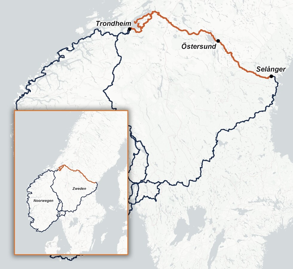
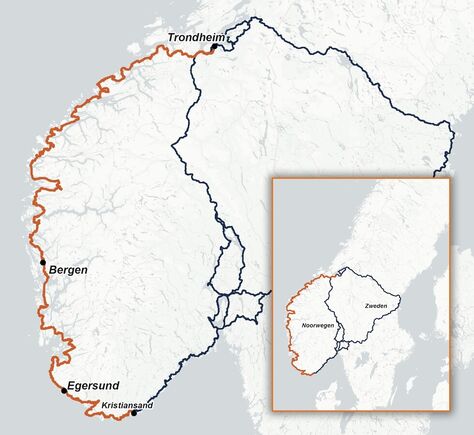
In the previous newsletter, I described everything from a high-level perspective. Now, I’m back with both feet on the ground and will share a bit more about the remaining activities between Smøla and Bergen. I admit, it’s a bit bite-sized, but everything will be neatly organized in chronological order in the guide. That bite-sized approach also somewhat fits the current modus operandi: I drive by car to an area that still needs to be ‘cycled’, sometimes including a key location, stay there for a few days, plan the route, and then move on. And sometimes, all sorts of efforts are made to get me there…
N.B. Due to lack of time, I took the easy route here: these are the snippets I also posted on Facebook. At the very bottom, I’ll explain what a ‘key place’ means...
Key place Veøya and the Romsdal Museum
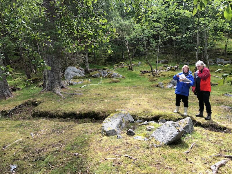
Right in the middle of the Romsdal Fjord lies the island of Veøya. The ‘sacred island’… No one lives there, but when you sail up and moor at the jetty, you will see a small white stone church, a rectory, and a large barn. Next to the church is an old cemetery. The only inhabitants are the sheep, who keep the grass well trimmed.
“Don’t forget to bring food and drink. Please note that the island has no water or electricity. Dress appropriately. Good shoes or boots are recommended…” Apart from the message that, to my great surprise, I was allowed to visit the island, I was also given this urgent advice. A skipper had been arranged, a guide, and none other than Brit Solli: archaeologist and professor at the University of Oslo. If anyone knows everything about the island, it’s her. Brit spent a total of twelve months on Veøya during the 1990s, during the excavations that led to her thesis.
Rain and wind were forecast, so rain clothes, an extra down jacket, and a pair of dry socks went into my backpack. Also, a thermos of coffee and a few sandwiches. I was ready!
The skipper Espen took us by speedboat to the island in 25 minutes. I had asked if the German, Jürgen Coers, could come along too. He was testing the cycling route for me and happened to be in Molde at the same time. Fortunately, he was allowed to join, because as a cycling pilgrim it is quite challenging to visit this island.
Brit and the guide Elisabet proved to be passionate and enthusiastic storytellers. Brit made it even more thrilling by occasionally ending her stories with cliffhangers. And now I’m going to do the same… How is it that there is a church even though no one lives there? And who is that eccentric William, after whom the rectory is named (Williamsborg)? And how can you visit the island and even stay overnight? You’ll be able to read all about this soon in the guide and on my website…
The rain wear stayed in my backpack. It was a beautiful, sunny day. I am very grateful to Hans-Olav Solli, director of the Romsdal Museum in Molde, and Eldbjørg Lamvik that I was allowed to visit the island in this way.


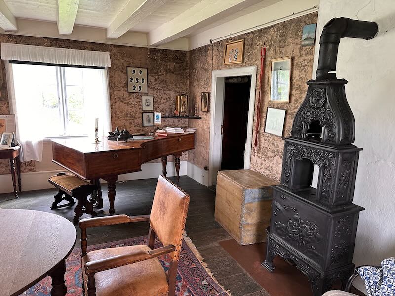
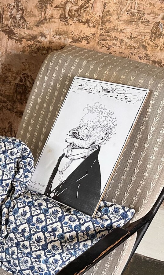
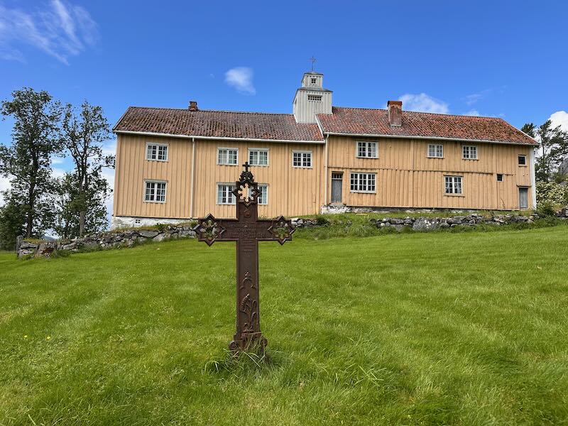
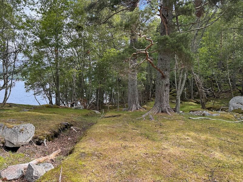

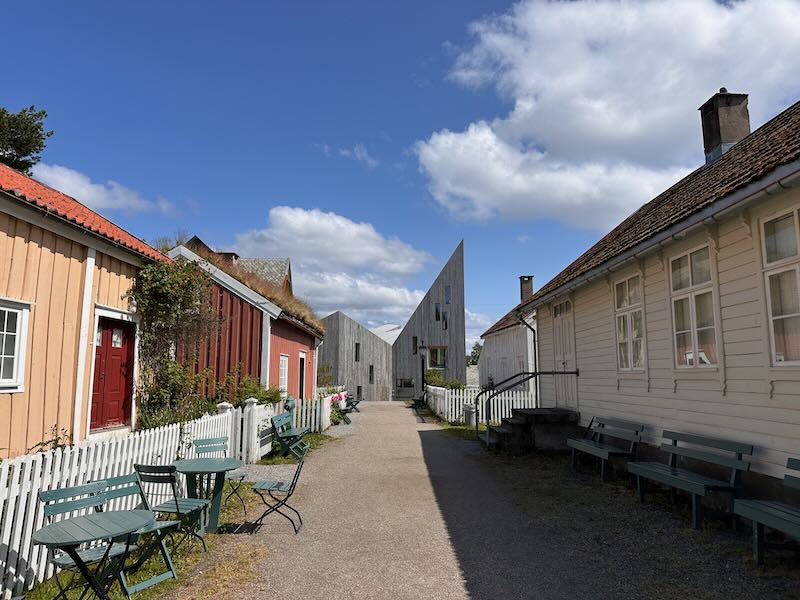
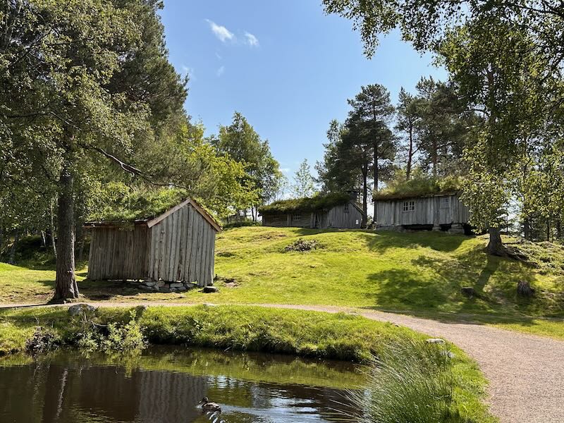
By the way, the Romsdal Museum in Molde itself is also worth a visit. It is one of the largest open-air museums in Norway. I was given a tour of Krona, a modern building with permanent and temporary exhibitions, by Eldbjørg. In the library there, a special corner has been set up for pilgrims on the Coastal Pilgrimage Route.
In the middle of Krona, you can take a virtual visit to Veøya. Because the island is still difficult to reach (a solution is underway), an alternative is to ‘visit’ the island here.
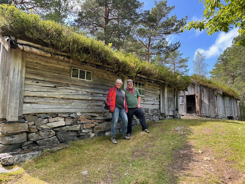
In the first photo, you see a street as Molde looked before the war. At the end of the street, you can see the Krona building. I was there with Jürgen (photo 3).
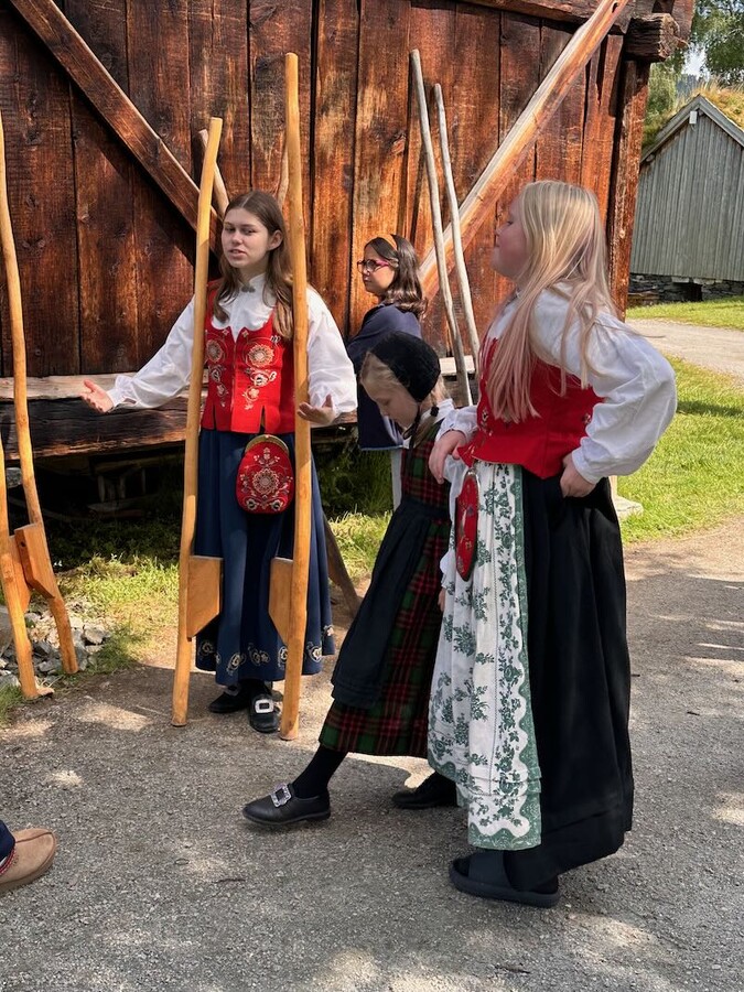
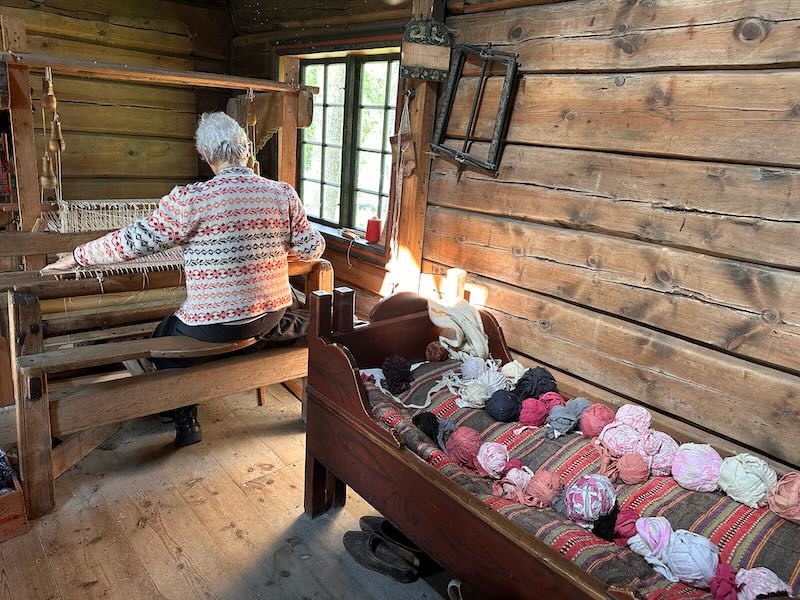
Key place Kvernes Stave Church and the adjacent pilgrim hostel Borgstua
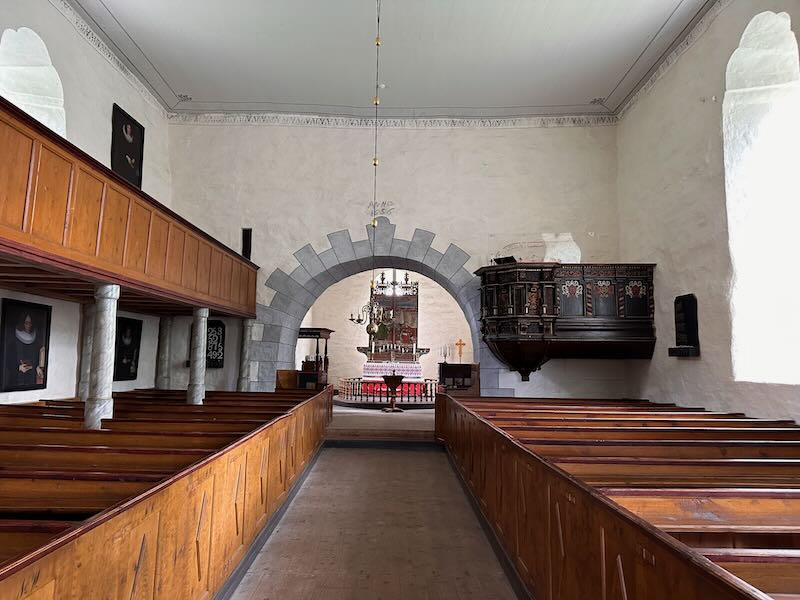
This stave church is really a must-see, as it is the only stave church you'll encounter along the Coastal Pilgrimage Route. It is also the youngest stave church in Norway, as was recently discovered. For a long time, it was believed the church was built in the fourteenth century, but new research in 2020 revealed that construction only took place in 1643. It is also the stave church with the largest nav, the space where the pews are, of all the remaining stave churches in Norway.


Personally, I find history incredibly fascinating, so I’m quite spoiled here in Norway. Norwegian myths and legends play a big role in the culture, and traces of this mythology can sometimes still be found in churches, including this one.
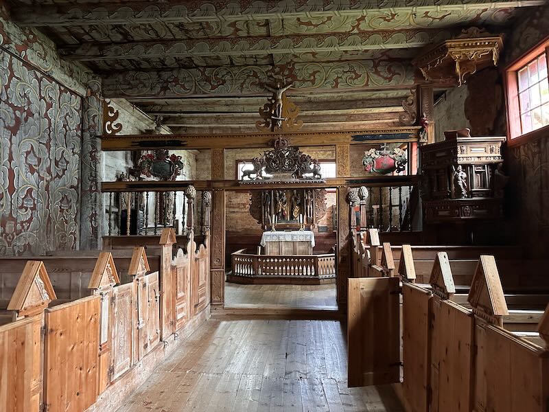 On the left, on the north side of the church, sat the women and children; on the right sat the men. Why? It was believed that the north wind brought evil spirits and demons. If the church were attacked, the women and children would be struck first, thereby protecting the men, who could then escape in time...
 Do you see the difference between the pews? It may be hard to tell from the photo, but the pew on the right is wider than the one on the left. You had to pay for your seat at the time. The wealthiest people sat at the front, on the wide and comfortable pews close to the altar and pulpit. The poor sat behind on the narrower benches. And the very poorest, those who could not pay at all, had to stand.
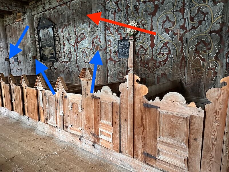 This church used to have a balcony as well. You can see the dark spots at the top of the wall (red arrow): that’s where they stood with their backs against it. In the vertical posts, you can still see the holes where the balcony was attached (blue arrows). The church was actually going to be demolished when the new church was finished, but funds were raised to preserve the stave church. By then, however, the balcony had already been removed.
 This balcony, above the ‘men’s side’, was intended for the priest’s wife. She was quite an arrogant lady: she did not want to sit with the women, but above the men. She had this balcony specially built for herself, with enough room for her unborn children. However, she never had them. The congregation thought this was a punishment for her arrogance.
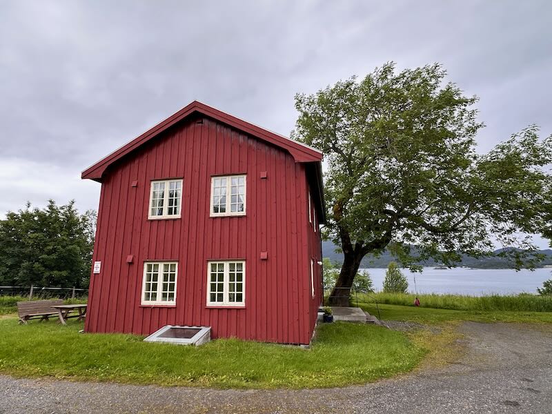
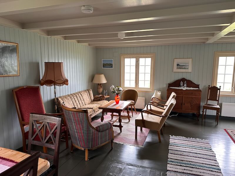
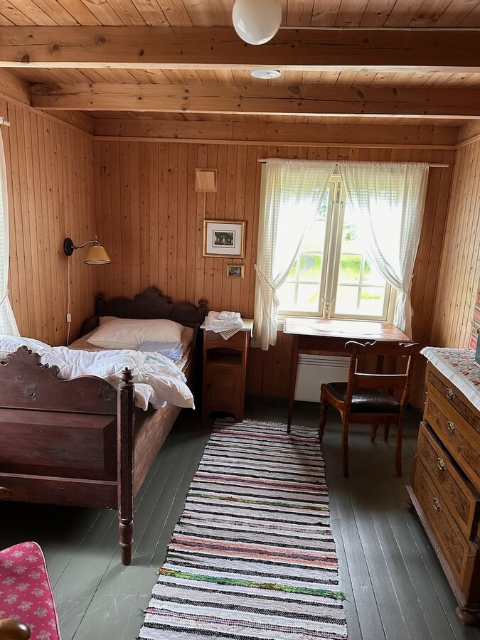
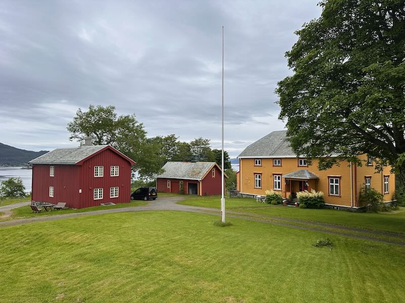
These photos are from Borgstua, the old rectory that now serves as a pilgrim hostel. It is a beautiful, comfortable wooden house with several bedrooms, a kitchen, and all sanitary facilities. And it is located right opposite the stave church. You’ll have to imagine the sunshine above it yourself.
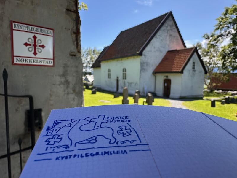
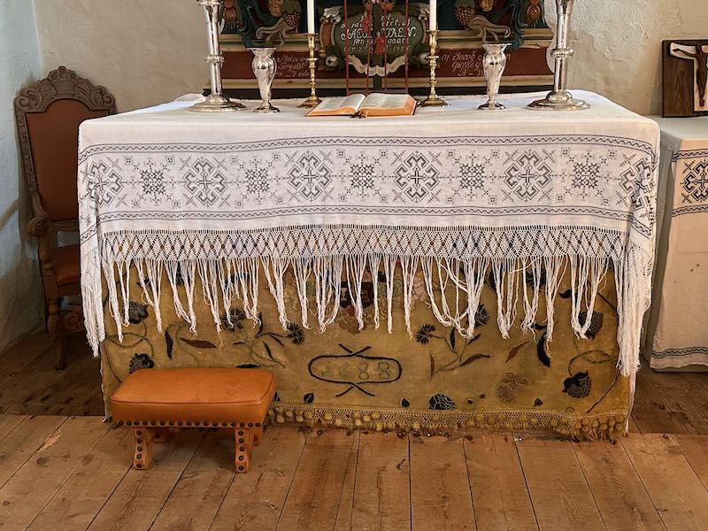
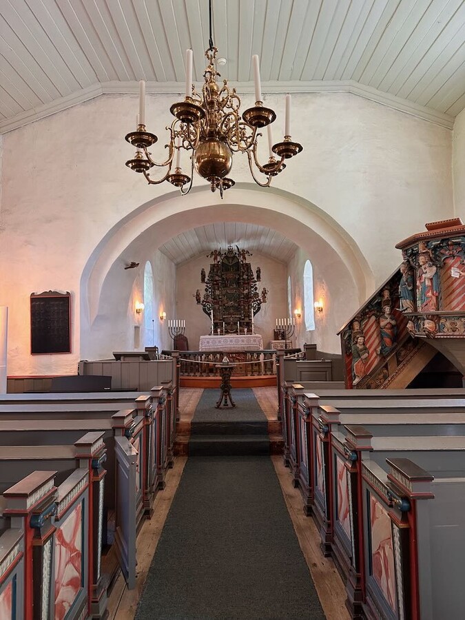
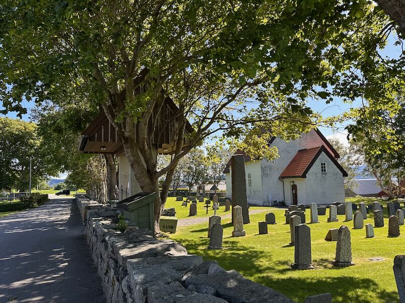
Key place Giske Church
To the north of Ålesund lies the small island of Giske (pronounced ‘Yees-ke’). The church here is a key location for pilgrims.
“You’re lucky,” said the guide—a young man who didn’t have much to do today. “There’s no cruise ship in Ålesund today. Otherwise, it would be very busy here.” The young man was an engaging storyteller, but you’ll be able to read all about that later in the guide.
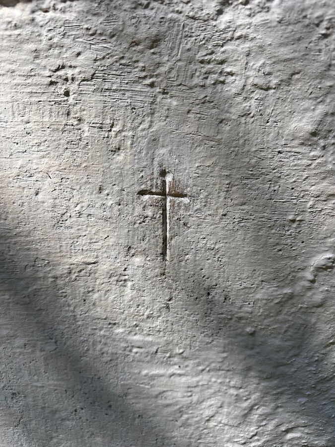
The last photo shows the ‘kissing cross’ on the east wall of the church. Medieval pilgrims kissed this cross because it was believed to bring healing. I gave it quite a big smacker myself...



Selje
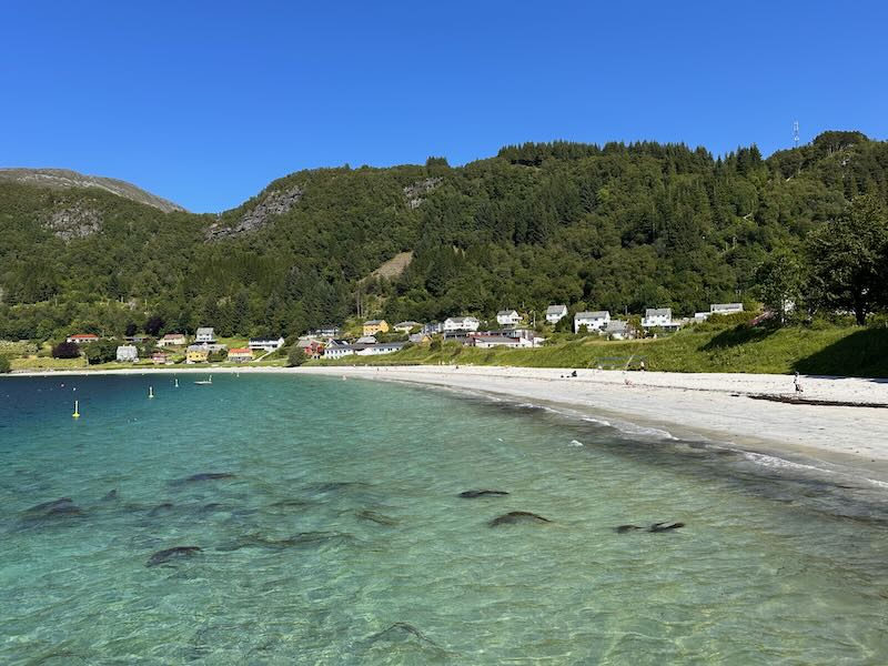
I stayed in Selje for two days. I was there ‘just’ on a work visit with Tonje, the pilgrim coordinator, and spent two nights in the authentic Prestegård (rectory). There was no more cycling to be done here; this part was completely finished.
Opposite Selje lies the island of Selja, a key location. For those familiar with the route wondering why the photos of Selja are missing here: I have already visited the island twice and didn’t return this year.




What is a key place?
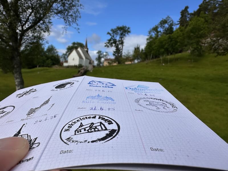
The Coastal Pilgrimage Route has 25 recognized key places, known in Norwegian as Nøkkelstader. These places hold special cultural and historical significance for Norway. Along the coast, from Egersund to Trondheim, pilgrims travel from key place to key place. If you have a pilgrim’s passport, you can have it stamped at these key places. To receive an Olavsbrev (Olavs' letter), a kind of certificate you can collect in Trondheim, you need at least six stamps.